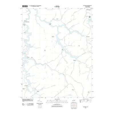
2010 Map of Roanoke
USGS Topo · Published 2010About this map
Alkires Mills and Roanoke anchor this Lewis County landscape, where the West Fork River winds through a network of hollows and ridges. The 2010 topography shows a region defined by its water and narrow valley settlements, including Vandalia and Jacksonville. The northeastern corner is dominated by the Stonecoal Reservoir, held by the Stonecoal Creek Dam, which altered the local drainage patterns of Stonecoal Creek and its many tributaries like Little Skin Creek.
Find a feature on this map
80 named features on this map. Tap any name to fly to it.
Don’t see what you’re looking for? This feature index may not catch every label — zoom into the map to look around manually.
Map Details
Editions of this 2010 Roanoke Map
This is the sole edition of this map. No revisions or reprints were ever made.
Other maps of this area

1893 · Buckhannon
USGS Topo · 1:125,000

1893 · Sutton
USGS Topo · 1:125,000

1896 · Buckhannon
USGS Topo · 1:125,000

1897 · Buckhannon
USGS Topo · 1:125,000

1904 · Weston
USGS Topo · 1:62,500

1904 · Vadis
USGS Topo · 1:62,500

1906 · Burnsville
USGS Topo · 1:62,500

1912 · Crawford
USGS Topo · 1:48,000

1914 · Crawford
USGS Topo · 1:62,500

1925 · Burnsville
USGS Topo · 1:62,500