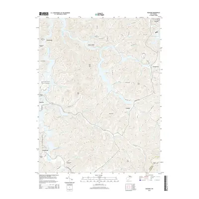
2014 Map of Roanoke
USGS Topo · Published 2014About this map
Alkires Mills and Vandalia anchor a landscape defined by the winding drainages of the West Fork River and its numerous tributaries in this rural Lewis County corridor. The terrain is marked by prominent high points such as Wolf Fork Mtn, Bald Knob, and Pine Knob, which overlook a network of hollows including Rohrbough Hollow and Coal Hollow. Settlement patterns follow the narrow valley floors, with small communities like Rohrbough and Jacksonville situated along historical transit routes now identified as Us-19 and Walkersville Arnold Rd.
Find a feature on this map
99 named features on this map. Tap any name to fly to it.
Don’t see what you’re looking for? This feature index may not catch every label — zoom into the map to look around manually.
Map Details
Editions of this 2014 Roanoke Map
This is the sole edition of this map. No revisions or reprints were ever made.
Other maps of this area

1893 · Buckhannon
USGS Topo · 1:125,000

1893 · Sutton
USGS Topo · 1:125,000

1896 · Buckhannon
USGS Topo · 1:125,000

1897 · Buckhannon
USGS Topo · 1:125,000

1904 · Weston
USGS Topo · 1:62,500

1904 · Vadis
USGS Topo · 1:62,500

1906 · Burnsville
USGS Topo · 1:62,500

1912 · Crawford
USGS Topo · 1:48,000

1914 · Crawford
USGS Topo · 1:62,500

1925 · Burnsville
USGS Topo · 1:62,500