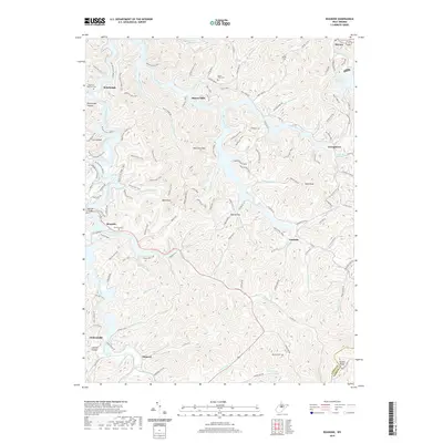
2019 Map of Roanoke
USGS Topo · Published 2019About this map
Alkires Mills and Vandalia anchor this Lewis County landscape, where the waters of Skin Creek and the West Fork River meet. The geography is defined by narrow hollows and high points like Wolf Fork Mtn and Bald Knob, reflecting a classic Appalachian settlement pattern where roads and communities cling to the creek beds. The drainage network is particularly dense here, including Sand Fork, Dunkin Run, and Millstone Run, all flowing through a topography that remains largely rural and forested.
Find a feature on this map
122 named features on this map. Tap any name to fly to it.
Don’t see what you’re looking for? This feature index may not catch every label — zoom into the map to look around manually.
Map Details
Editions of this 2019 Roanoke Map
This is the sole edition of this map. No revisions or reprints were ever made.
Other maps of this area

1893 · Buckhannon
USGS Topo · 1:125,000

1893 · Sutton
USGS Topo · 1:125,000

1896 · Buckhannon
USGS Topo · 1:125,000

1897 · Buckhannon
USGS Topo · 1:125,000

1904 · Weston
USGS Topo · 1:62,500

1904 · Vadis
USGS Topo · 1:62,500

1906 · Burnsville
USGS Topo · 1:62,500

1912 · Crawford
USGS Topo · 1:48,000

1914 · Crawford
USGS Topo · 1:62,500

1925 · Burnsville
USGS Topo · 1:62,500