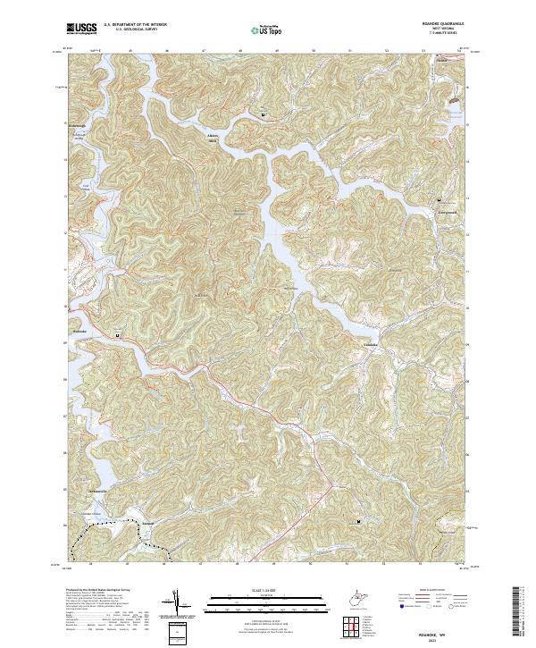
2023 Map of Roanoke
USGS Topo · Published 2023About this map
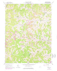
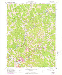
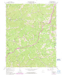
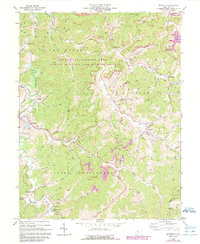
Stonewall Jackson Lake dominates this Lewis County landscape, its winding fingers filling the valleys of the West Fork River and its many tributaries. The area is defined by its ridge-and-hollow topography, where small settlements like Vandalia, Roanoke, and Jacksonville are tucked between elevations such as Wolf Fork Mountain and Bald Knob. This recent survey shows how modern recreation and water management at Roanoke Bay State Park coexist with the region's older rural foundations. Genealogists will find several notable burial sites throughout the hills, including Fairview Cem near the lake's edge, Glady Fork Cem to the north, and Rexroad Cem in the southern reaches. The map traces a complex network of older routes and trails, such as Arnold Road Trl and Oil Creek Rd, which provide a detailed look at the local geography surrounding Alkires Mills and Horner.
Find a feature on this map
111 named features on this map. Tap any name to fly to it.
Don’t see what you’re looking for? This feature index may not catch every label — zoom into the map to look around manually.
Map Details
Editions of this 2023 Roanoke Map
This is the sole edition of this map. No revisions or reprints were ever made.
Historical Maps of Vandalia Through Time
15 maps found
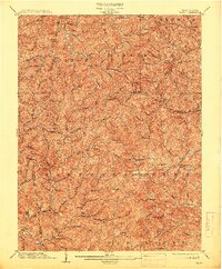
1904 Vadis
Lewis County, WV

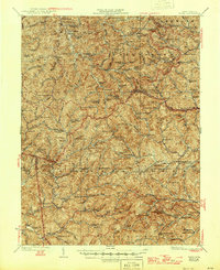
1925 Vadis
Lewis County, WV
1927 Vadis
Lewis County, WV
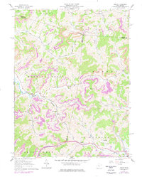
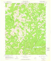
1961 Berlin
Lewis County, WV
1964 Camden
Lewis County, WV
1964 Vadis
Lewis County, WV
1966 Peterson
Lewis County, WV
1966 Roanoke
Lewis County, WV
1966 Walkersville
Lewis County, WV
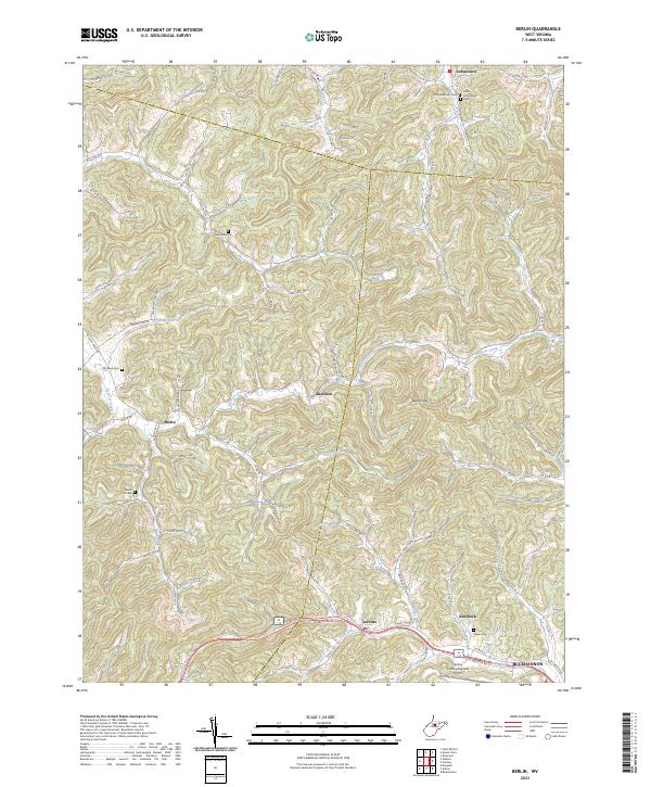
2023 Berlin
Lewis County, WV
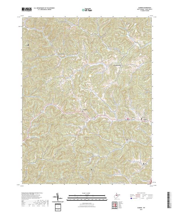
2023 Camden
Lewis County, WV
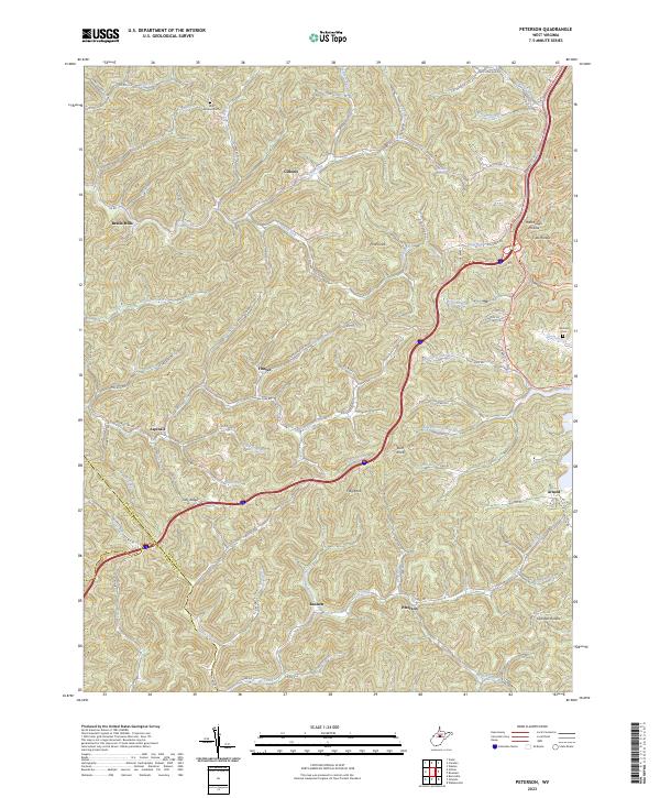
2023 Peterson
Lewis County, WV
2023 Roanoke
Lewis County, WV
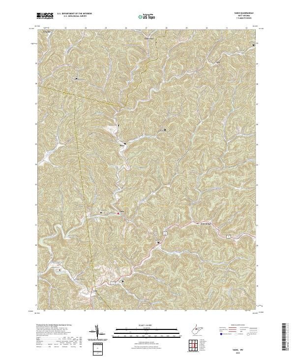
2023 Vadis
Lewis County, WV
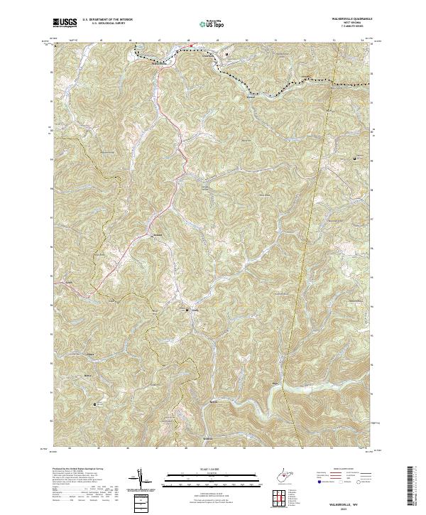
2023 Walkersville
Lewis County, WV