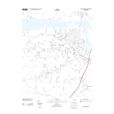
2013 Map of Roanoke Rapids
USGS Topo · Published 2013About this map
Roanoke Rapids Lake and the Roanoke River anchor the northern landscape of this Halifax County region, where industrial and residential footprints meet at the water's edge. The residential clusters of Belmont, Rosemary, and South Rosemary create a dense grid south of the river, bisected by the winding course of Chockoyotte Cr. This area reflects the mid-century and later expansion of the town, shifting from the traditional riverfront towards the interior.
Find a feature on this map
285 named features on this map. Tap any name to fly to it.
Don’t see what you’re looking for? This feature index may not catch every label — zoom into the map to look around manually.
Map Details
Editions of this 2013 Roanoke Rapids Map
This is the sole edition of this map. No revisions or reprints were ever made.
Other maps of this area
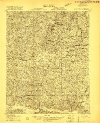
1919 · White Plains
USGS Topo · 1:48,000
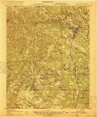
1919 · Emporia
USGS Topo · 1:62,500
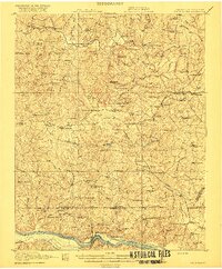
1920 · White Plains
USGS Topo · 1:62,500
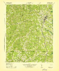
1942 · Emporia
USGS Topo · 1:62,500

1953 · Norfolk
USGS Topo · 1:250,000
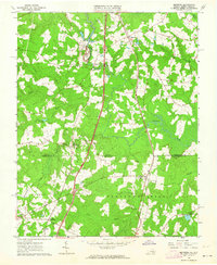
1963 · Skippers
USGS Topo · 1:24,000
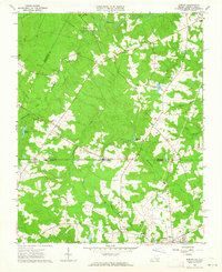
1963 · Barley
USGS Topo · 1:24,000
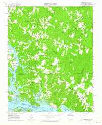
1963 · Valentines
USGS Topo · 1:24,000
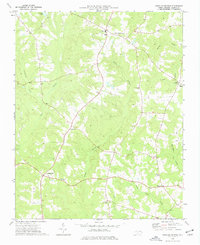
1973 · Aurelian Springs
USGS Topo · 1:24,000
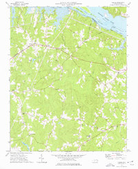
1973 · Thelma
USGS Topo · 1:24,000