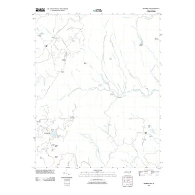
2010 Map of Roaring Gap
USGS Topo · Published 2010About this map
Roaring Gap and the surrounding highlands of the Blue Ridge define this landscape, where the Blue Ridge Pkwy skirts the northern heights above Rich Hill. The area is characterized by several small rural settlements like Devotion and Union Hill, each connected by a network of winding mountain roads and family-named landmarks. The drainage of the Mitchell River system, including the North Prong South Fork Mitchell River, flows southward from the gap, carving through the terrain near Little Mountain and Stony Knob.
Find a feature on this map
84 named features on this map. Tap any name to fly to it.
Don’t see what you’re looking for? This feature index may not catch every label — zoom into the map to look around manually.
Map Details
Editions of this 2010 Roaring Gap Map
This is the sole edition of this map. No revisions or reprints were ever made.
Other maps of this area

1889 · Hillsville
USGS Topo · 1:125,000

1889 · Wytheville
USGS Topo · 1:125,000

1889 · Wilkesboro
USGS Topo · 1:125,000

1891 · Wilkesboro
USGS Topo · 1:125,000

1891 · Yadkinville
USGS Topo · 1:125,000

1892 · Hillsville
USGS Topo · 1:125,000

1892 · Wytheville
USGS Topo · 1:125,000

1893 · Yadkinville
USGS Topo · 1:125,000

1896 · Hillsville
USGS Topo · 1:125,000

1930 · Independence
USGS Topo · 1:48,000