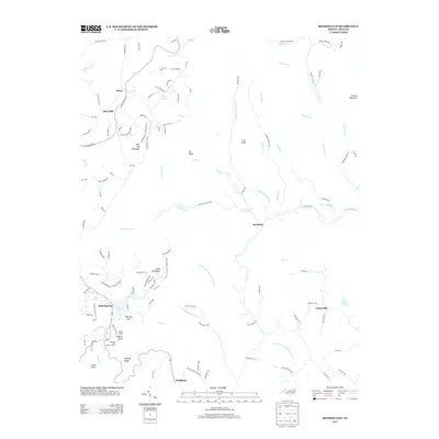
2013 Map of Roaring Gap
USGS Topo · Published 2013About this map
Rich Hill Mountain and the surrounding high country of the Blue Ridge define this landscape, where the Blue Ridge Pkwy winds through the northwestern corner. The area is characterized by scattered settlements and high-altitude water features, most notably Roaring Gap and its associated Roaring Gap Lookout Tower. This portion of the Eastern Continental Divide separates waters flowing toward the Mitchell River from those feeding Big Pine Cr.
Find a feature on this map
126 named features on this map. Tap any name to fly to it.
Don’t see what you’re looking for? This feature index may not catch every label — zoom into the map to look around manually.
Map Details
Editions of this 2013 Roaring Gap Map
This is the sole edition of this map. No revisions or reprints were ever made.
Other maps of this area

1889 · Hillsville
USGS Topo · 1:125,000

1889 · Wytheville
USGS Topo · 1:125,000

1889 · Wilkesboro
USGS Topo · 1:125,000

1891 · Wilkesboro
USGS Topo · 1:125,000

1891 · Yadkinville
USGS Topo · 1:125,000

1892 · Hillsville
USGS Topo · 1:125,000

1892 · Wytheville
USGS Topo · 1:125,000

1893 · Yadkinville
USGS Topo · 1:125,000

1896 · Hillsville
USGS Topo · 1:125,000

1930 · Independence
USGS Topo · 1:48,000