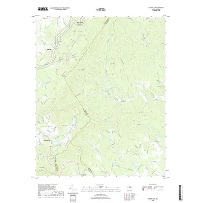
2019 Map of Roaring Gap
USGS Topo · Published 2019About this map
Blue Ridge Parkway winds through this high-country landscape, marking the transition across the crest of the Blue Ridge where Alleghany, Surry, and Wilkes counties meet. This area is defined by its dramatic relief, where the plateau drops toward the headwaters of the Mitchell River. Small mountain communities like Hare, Rich Hill, and Roaring Gap are connected by a network of winding roads, including the significant Old Railroad Grade Rd near Doughton. Genealogists will find several rural burial grounds preserved in these hills, such as Mountain View Cem, Thompson Cem, and Walker Cem. The presence of Lake Louise and Lake Laurel provides a contrast to the many rushing streams like Big Sandy Cr and Thompsons Br that carve through the ridges, including Tar Ridge and Rich Hill Mtn.
Find a feature on this map
122 named features on this map. Tap any name to fly to it.
Don’t see what you’re looking for? This feature index may not catch every label — zoom into the map to look around manually.
Map Details
Editions of this 2019 Roaring Gap Map
This is the sole edition of this map. No revisions or reprints were ever made.
Other maps of this area

1889 · Hillsville
USGS Topo · 1:125,000

1889 · Wytheville
USGS Topo · 1:125,000

1889 · Wilkesboro
USGS Topo · 1:125,000

1891 · Wilkesboro
USGS Topo · 1:125,000

1891 · Yadkinville
USGS Topo · 1:125,000

1892 · Hillsville
USGS Topo · 1:125,000

1892 · Wytheville
USGS Topo · 1:125,000

1893 · Yadkinville
USGS Topo · 1:125,000

1896 · Hillsville
USGS Topo · 1:125,000

1930 · Independence
USGS Topo · 1:48,000