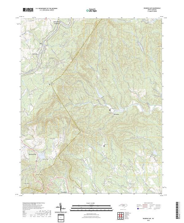
2022 Map of Roaring Gap
USGS Topo · Published 2022About this map
Rich Hill Mtn and the winding course of the Blue Ridge Parkway define the upper reaches of this landscape where the borders of Surry, Alleghany, and Wilkes counties converge. The area is characterized by a high-elevation network of ridges and peaks, including Lens Knob, Tar Ridge, and Stony Knob, which give rise to the headwaters of the Mitchell River and its various prongs. These waters flow southeastward, carved into the terrain alongside long-established mountain roads and timbered slopes.
Find a feature on this map
126 named features on this map. Tap any name to fly to it.
Don’t see what you’re looking for? This feature index may not catch every label — zoom into the map to look around manually.
Map Details
Editions of this 2022 Roaring Gap Map
This is the sole edition of this map. No revisions or reprints were ever made.
Other maps of this area

1889 · Hillsville
USGS Topo · 1:125,000

1889 · Wytheville
USGS Topo · 1:125,000

1889 · Wilkesboro
USGS Topo · 1:125,000

1891 · Wilkesboro
USGS Topo · 1:125,000

1891 · Yadkinville
USGS Topo · 1:125,000

1892 · Hillsville
USGS Topo · 1:125,000

1892 · Wytheville
USGS Topo · 1:125,000

1893 · Yadkinville
USGS Topo · 1:125,000

1896 · Hillsville
USGS Topo · 1:125,000

1930 · Independence
USGS Topo · 1:48,000