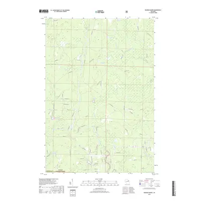
2018 Map of Roaring Rapids
USGS Topo · Published 2018About this map
The Peshtigo River carves a winding path through this corner of the Nicolet National Forest along the border of Oconto and Marinette counties. This modern survey illustrates a landscape defined by its waterways, capturing the turbulent stretches of Roaring Rapids, Wilson Rapids, and the notable Jerry Chute. The density of named glacial lakes, including Taylor Lake, Brandywine Lake, and the cluster at Three Little Lakes, indicates a region heavily utilized for seasonal recreation and timber management. A complex network of forest roads and lanes, such as Parkway Rd and Camp 5 Rd, provides access to these remote water bodies. The lack of concentrated municipal development highlights the area's preservation as a managed wilderness, where the hydrology of Swamp Cr and Campbell Cr remains the dominant geographic feature.
Find a feature on this map
76 named features on this map. Tap any name to fly to it.
Don’t see what you’re looking for? This feature index may not catch every label — zoom into the map to look around manually.
Map Details
Editions of this 2018 Roaring Rapids Map
This is the sole edition of this map. No revisions or reprints were ever made.
Other maps of this area

1939 · Dunbar
USGS Topo · 1:48,000

1939 · Goodman
USGS Topo · 1:48,000

1940 · Thunder Mtn.
USGS Topo · 1:48,000

1940 · Athelstane
USGS Topo · 1:48,000

1941 · Dunbar
USGS Topo · 1:48,000

1942 · Athelstane
USGS Topo · 1:48,000

1946 · Goodman
USGS Topo · 1:48,000

1947 · Dunbar
USGS Topo · 1:48,000

1951 · Thunder Mountain
USGS Topo · 1:48,000

1954 · Iron Mountain
USGS Topo · 1:250,000