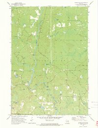
1972 Map of Roaring Rapids
USGS Topo · Published 1975About this map
The Peshtigo River carves a central path through this Marinette County landscape, punctuated by treacherous whitewater reaches including Roaring Rapids, Jerry Chute, and Wilson Rapids. In the early 1970s, this region was defined by its dense hydrology and forest management, with the Nicolet National Forest boundary marking the southwestern corner. The rugged topography of Silver Cliff dominates the central terrain, while the local cultural footprint is anchored by St Mary of the Cliff Ch and a series of named rural roads like Swede John Road and Old J Road. Recreation is a clear priority along the river corridor, evidenced by the Marinette Co Park picnic areas and campgrounds that serve visitors navigating the numerous glacial lakes such as Brandywine Lake and Homestead Lake.
Find a feature on this map
41 named features on this map. Tap any name to fly to it.
Don’t see what you’re looking for? This feature index may not catch every label — zoom into the map to look around manually.
Map Details
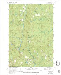
Editions of this 1972 Roaring Rapids Map
2 editions found
Other maps of this area

1939 · Dunbar
USGS Topo · 1:48,000

1939 · Goodman
USGS Topo · 1:48,000

1940 · Thunder Mtn.
USGS Topo · 1:48,000

1940 · Athelstane
USGS Topo · 1:48,000

1941 · Dunbar
USGS Topo · 1:48,000

1942 · Athelstane
USGS Topo · 1:48,000

1946 · Goodman
USGS Topo · 1:48,000

1947 · Dunbar
USGS Topo · 1:48,000

1951 · Thunder Mountain
USGS Topo · 1:48,000

1954 · Iron Mountain
USGS Topo · 1:250,000