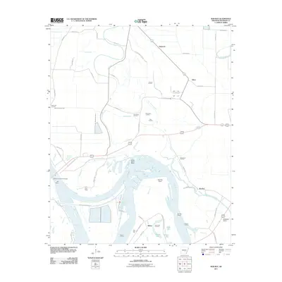
2011 Map of Rob Roy
USGS Topo · Published 2011About this map
The Arkansas River carves a complex path through Jefferson County in this 2011 survey, defining a landscape shaped by both natural hydrology and human engineering. The river's serpentine course is marked by significant features like Sainte Marie Bend and Yell Bend, while the Rob Roy Shoal indicates the shifting navigation conditions of this vital waterway. Industry and transport are centered around the Pine Bluff Port and the Rob Roy Bridge, reflecting the area's continued reliance on the river for commerce.
Find a feature on this map
63 named features on this map. Tap any name to fly to it.
Don’t see what you’re looking for? This feature index may not catch every label — zoom into the map to look around manually.
Map Details
Editions of this 2011 Rob Roy Map
This is the sole edition of this map. No revisions or reprints were ever made.
Other maps of this area

1932 · Pastoria
USGS Topo · 1:62,500

1935 · Altheimer
USGS Topo · 1:62,500

1935 · Pastoria
USGS Topo · 1:62,500

1935 · Noble Lake
USGS Topo · 1:62,500

1948 · Helena
USGS Topo · 1:250,000

1950 · Helena
USGS Topo · 1:250,000

1955 · Helena
USGS Topo · 1:250,000

1955 · Little Rock
USGS Topo · 1:250,000

1956 · Little Rock
USGS Topo · 1:250,000

1959 · Helena
USGS Topo · 1:250,000