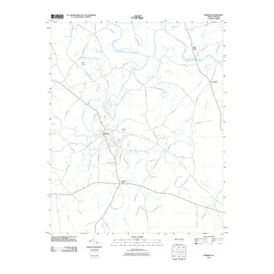
2010 Map of Robbins
USGS Topo · Published 2010About this map
Deep River winds through this Moore County landscape, anchoring a rural network of small communities and family landmarks. The town of Robbins serves as the central hub, surrounded by outlying locales like High Falls to the north and McConnell to the east. The terrain is deeply etched by a complex drainage system including Buffalo Creek, Bear Creek, and the curiously named Gold Mine Branch.
Find a feature on this map
78 named features on this map. Tap any name to fly to it.
Don’t see what you’re looking for? This feature index may not catch every label — zoom into the map to look around manually.
Map Details
Editions of this 2010 Robbins Map
This is the sole edition of this map. No revisions or reprints were ever made.
Other maps of this area

1942 · Troy
USGS Topo · 1:125,000

1953 · Raleigh
USGS Topo · 1:250,000

1954 · Raleigh
USGS Topo · 1:250,000

1968 · Erect
USGS Topo · 1:24,000

1968 · Bennett
USGS Topo · 1:24,000

1970 · Bear Creek
USGS Topo · 1:24,000
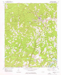
1974 · Carthage
USGS Topo · 1:24,000

1974 · Putnam
USGS Topo · 1:24,000

1974 · Candor
USGS Topo · 1:24,000
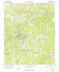
1977 · Robbins
USGS Topo · 1:24,000