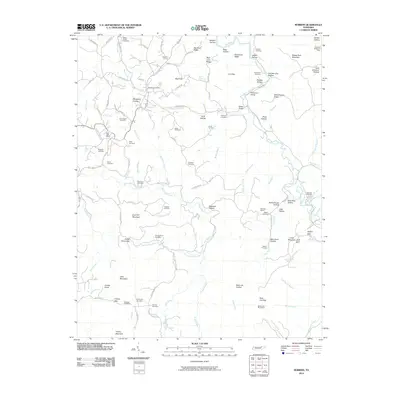
2010 Map of Robbins
USGS Topo · Published 2010About this map
Coal Hill Mountain and the surrounding Scott County ridges define this landscape during a period of modern mapping and deep-rooted community history. The geography is marked by a legacy of resource extraction and transit, visible in the industrial signatures of Rainbow Mines and the McCoy Big Mary Mine, alongside the Robbins Tunnel and Pemberton Siding which facilitated movement through the highlands.
Find a feature on this map
122 named features on this map. Tap any name to fly to it.
Don’t see what you’re looking for? This feature index may not catch every label — zoom into the map to look around manually.
Map Details
Editions of this 2010 Robbins Map
This is the sole edition of this map. No revisions or reprints were ever made.
Other maps of this area

1893 · Briceville
USGS Topo · 1:125,000

1895 · Wartburg
USGS Topo · 1:125,000

1895 · Briceville
USGS Topo · 1:125,000

1896 · Wartburg
USGS Topo · 1:125,000

1896 · Briceville
USGS Topo · 1:125,000

1935 · Gobey
USGS Topo · 1:24,000

1935 · Pilot Mountain
USGS Topo · 1:24,000

1936 · Hogbell Gap
USGS Topo · 1:24,000
1946 · Gobey
USGS Topo · 1:24,000
1946 · Fork Mountain
USGS Topo · 1:24,000