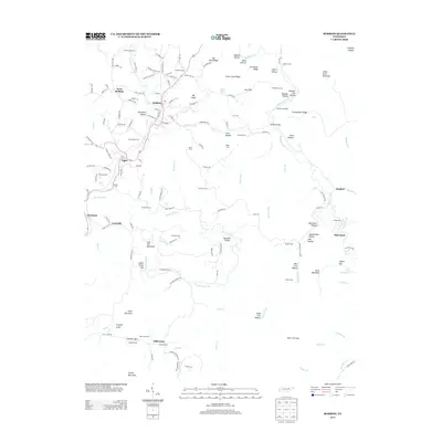
2013 Map of Robbins
USGS Topo · Published 2013About this map
Robbins and Elgin serve as central points in this Scott County landscape, where the legacy of industrial transit and rural settlement is clearly marked. The presence of the Robbins Tunnel and Pemberton Siding along the rail corridor highlights the importance of mountain transportation, while Brickyard Hollow points toward local historic manufacturing. Family history is well-preserved through numerous burial sites like Love Chapel Cem, Todd Cem, and Sumner Cem, which anchor the small communities of West Robbins and Glenmary.
Find a feature on this map
156 named features on this map. Tap any name to fly to it.
Don’t see what you’re looking for? This feature index may not catch every label — zoom into the map to look around manually.
Map Details
Editions of this 2013 Robbins Map
This is the sole edition of this map. No revisions or reprints were ever made.
Other maps of this area

1893 · Briceville
USGS Topo · 1:125,000

1895 · Wartburg
USGS Topo · 1:125,000

1895 · Briceville
USGS Topo · 1:125,000

1896 · Wartburg
USGS Topo · 1:125,000

1896 · Briceville
USGS Topo · 1:125,000

1935 · Gobey
USGS Topo · 1:24,000

1935 · Pilot Mountain
USGS Topo · 1:24,000

1936 · Hogbell Gap
USGS Topo · 1:24,000
1946 · Gobey
USGS Topo · 1:24,000
1946 · Fork Mountain
USGS Topo · 1:24,000