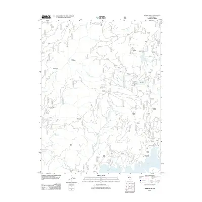
2012 Map of Robbs Peak
USGS Topo · Published 2012About this map
Robbs Peak dominates this high-elevation landscape within the Eldorado National Forest, overseeing a complex network of waterways and early 21st-century recreation sites. The Rubicon River and South Fork Rubicon River carve through the terrain, bridged at notable crossings like Ellicott Bridge and South Fork Bridge. Significant infrastructure is present in the form of Robbs Powerhouse, which operates near the northern reaches of the Union Valley Reservoir. Historically significant sites like Uncle Toms Cabin and former industrial footprints such as Ditch Camp provide a grounded look at the region's development. The map also detail seasonal meadows and peaks, including Butler Meadow and Hartless Mountain, linked by a web of forestry roads and trails like Robs Cabin Trl and Little Silver Rd.
Find a feature on this map
42 named features on this map. Tap any name to fly to it.
Don’t see what you’re looking for? This feature index may not catch every label — zoom into the map to look around manually.
Map Details
Editions of this 2012 Robbs Peak Map
This is the sole edition of this map. No revisions or reprints were ever made.
Other maps of this area

1889 · Pyramid Peak
USGS Topo · 1:125,000

1891 · Colfax
USGS Topo · 1:125,000

1891 · Truckee
USGS Topo · 1:125,000

1891 · Placerville
USGS Topo · 1:125,000

1891 · Pyramid Peak
USGS Topo · 1:125,000

1892 · Placerville
USGS Topo · 1:125,000

1892 · Colfax
USGS Topo · 1:125,000

1893 · Placerville
USGS Topo · 1:125,000

1893 · Truckee
USGS Topo · 1:125,000

1894 · Colfax
USGS Topo · 1:125,000