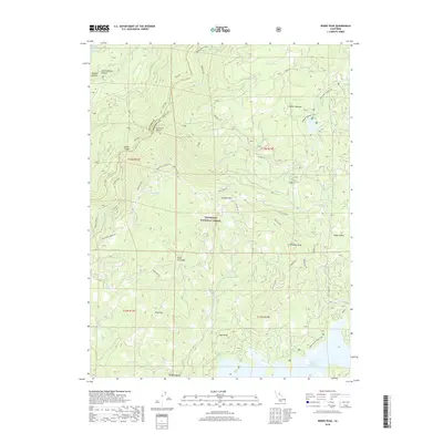
2018 Map of Robbs Peak
USGS Topo · Published 2018About this map
Eldorado National Forest defines this high-elevation landscape along the border of Placer and El Dorado counties. The terrain is deeply carved by the Rubicon River and its southern fork, which are spanned by vital crossings at Ellicott Bridge and South Fork Bridge. These bridges connect a network of rugged access routes, including Wentworth Springs Rd and S Creek Rd, which traverse steep ridges like Silver Hill Ridge and Wildcat Meadow.
Find a feature on this map
50 named features on this map. Tap any name to fly to it.
Don’t see what you’re looking for? This feature index may not catch every label — zoom into the map to look around manually.
Map Details
Editions of this 2018 Robbs Peak Map
This is the sole edition of this map. No revisions or reprints were ever made.
Other maps of this area

1889 · Pyramid Peak
USGS Topo · 1:125,000

1891 · Colfax
USGS Topo · 1:125,000

1891 · Truckee
USGS Topo · 1:125,000

1891 · Placerville
USGS Topo · 1:125,000

1891 · Pyramid Peak
USGS Topo · 1:125,000

1892 · Placerville
USGS Topo · 1:125,000

1892 · Colfax
USGS Topo · 1:125,000

1893 · Placerville
USGS Topo · 1:125,000

1893 · Truckee
USGS Topo · 1:125,000

1894 · Colfax
USGS Topo · 1:125,000