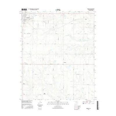
2016 Map of Roberta
USGS Topo · Published 2016About this map
The southeastern outskirts of Durant and the surrounding rural landscape of Bryan County are documented in this 2016 survey. The map reveals the distinct separation between Allison and Old Allison, providing a clear record for those tracing local settlement shifts and family land history. Water dominates the eastern and southern portions of the quadrangle, with numerous small bodies such as Shepard Lake, Isom Lake, and Boatner Lake dotting the terrain. The drainage network is defined by Kanola Cr, Sassafras Cr, and White Grass Cr, which flow through a grid of rural roads and section lines. Notable local markers including Pioneer Cem and the small communities of Roberta and Pirtle ground the map in its regional context, while the street detail of Durant's eastern neighborhoods shows the reach of municipal growth.
Find a feature on this map
78 named features on this map. Tap any name to fly to it.
Don’t see what you’re looking for? This feature index may not catch every label — zoom into the map to look around manually.
Map Details
Editions of this 2016 Roberta Map
This is the sole edition of this map. No revisions or reprints were ever made.
Other maps of this area

1899 · Atoka
USGS Topo · 1:125,000

1900 · Atoka
USGS Topo · 1:125,000

1954 · Sherman
USGS Topo · 1:250,000

1957 · Wade
USGS Topo · 1:62,500

1957 · Ardmore
USGS Topo · 1:250,000

1958 · Durant
USGS Topo · 1:62,500

1958 · Sherman
USGS Topo · 1:250,000

1963 · Ardmore
USGS Topo · 1:250,000
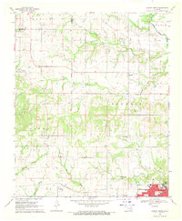
1968 · Durant North
USGS Topo · 1:24,000

1969 · Bokchito
USGS Topo · 1:24,000