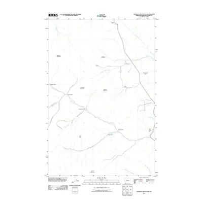
2011 Map of Roberts Mountain
USGS Topo · Published 2011About this map
Roberts Mountain and Lannigan Mountain define the high terrain of Lewis and Clark County in this detailed 2011 survey. The landscape is characterized by a sparse, ranch-based settlement pattern typical of the Montana backcountry, where large holdings like the B Hicks Ranch, Garrow Ranch, and the Johnson Homestead are the primary landmarks. Water distribution is the critical factor for these ranching operations, with Wolf Creek and Rock Creek carving deep drainages and gulches through the mountains.
Find a feature on this map
39 named features on this map. Tap any name to fly to it.
Don’t see what you’re looking for? This feature index may not catch every label — zoom into the map to look around manually.
Map Details
Editions of this 2011 Roberts Mountain Map
This is the sole edition of this map. No revisions or reprints were ever made.
Other maps of this area

1889 · Helena
USGS Topo · 1:250,000

1893 · Helena
USGS Topo · 1:250,000

1899 · Helena
USGS Topo · 1:250,000

1903 · Helena
USGS Topo · 1:250,000

1943 · Hogan
USGS Topo · 1:125,000

1947 · Butte
USGS Topo · 1:250,000

1955 · Choteau
USGS Topo · 1:250,000

1957 · Choteau
USGS Topo · 1:250,000

1958 · Butte
USGS Topo · 1:250,000

1958 · Choteau
USGS Topo · 1:250,000