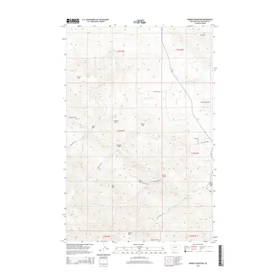
2014 Map of Roberts Mountain
USGS Topo · Published 2014About this map
Roberts Mtn and Lannigan Mtn dominate this Lewis and Clark County landscape, where the continental topography is defined by high peaks and an intricate network of drainage gulches. The terrain transitions from the elevations of Toms Peak and Rogers Mtn down through deep-cut corridors like Denton Gulch and Lannigan Gulch. Notable rocky outcrops such as The Reef and Rattlesnake Reef provide distinct landmarks for those navigating the backcountry. Waterways including Wells Fork Rock Cr, Willis Cr, and Gladstone Cr carve the valleys, illustrating the natural watershed patterns of the region. Local access is maintained through a system of rural routes like Hicks Trail Rd and French Creek Rd, which follow the natural contours of the mountain slopes and stream beds.
Find a feature on this map
42 named features on this map. Tap any name to fly to it.
Don’t see what you’re looking for? This feature index may not catch every label — zoom into the map to look around manually.
Map Details
Editions of this 2014 Roberts Mountain Map
This is the sole edition of this map. No revisions or reprints were ever made.
Other maps of this area

1889 · Helena
USGS Topo · 1:250,000

1893 · Helena
USGS Topo · 1:250,000

1899 · Helena
USGS Topo · 1:250,000

1903 · Helena
USGS Topo · 1:250,000

1943 · Hogan
USGS Topo · 1:125,000

1947 · Butte
USGS Topo · 1:250,000

1955 · Choteau
USGS Topo · 1:250,000

1957 · Choteau
USGS Topo · 1:250,000

1958 · Butte
USGS Topo · 1:250,000

1958 · Choteau
USGS Topo · 1:250,000