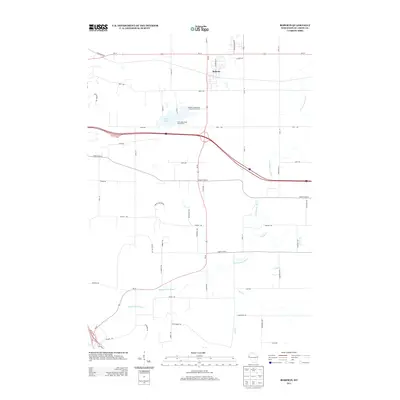
2013 Map of Roberts
USGS Topo · Published 2013About this map
The village of Roberts serves as the primary hub of activity in this part of St. Croix County, situated just north of the busy transportation corridors that define the local geography. The landscape is characterized by a network of waterways, most notably the Kinnickinnic River, which winds through the southern half of the area. Several tributaries, including Parker Cr, Kelly Cr, and Nye Cr, provide drainage for the surrounding farmland. In the central portion of the map, Twin Lakes remains a prominent natural landmark, supported by the Twin Lakes State Access Point for local recreation. The modern infrastructure is evident through the presence of the Roberts Wastewater Treatment Facility and a dense grid of rural roads like 70th Ave and Liberty Rd that connect outlying residential and agricultural properties to the village center.
Find a feature on this map
54 named features on this map. Tap any name to fly to it.
Don’t see what you’re looking for? This feature index may not catch every label — zoom into the map to look around manually.
Map Details
Editions of this 2013 Roberts Map
This is the sole edition of this map. No revisions or reprints were ever made.
Other maps of this area

1946 · River Falls
USGS Topo · 1:62,500

1948 · New Richmond
USGS Topo · 1:62,500

1949 · New Richmond
USGS Topo · 1:62,500

1949 · River Falls
USGS Topo · 1:62,500

1949 · Baldwin
USGS Topo · 1:62,500

1950 · Deer Park
USGS Topo · 1:62,500

1953 · Saint Paul
USGS Topo · 1:250,000

1953 · Stillwater
USGS Topo · 1:250,000

1955 · Stillwater
USGS Topo · 1:250,000

1958 · Stillwater
USGS Topo · 1:250,000