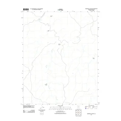
2011 Map of Robinson Canyon
USGS Topo · Published 2011About this map
Robinson Canyon defines the drainage patterns of this Mohave County landscape, where an intricate network of seasonal waterways carves through the high desert. The map captures a high-elevation environment dominated by geographic features such as Sunshine Ridge and Nates Canyon. Vital water management points like Hack Reservoir, Robinson Reservoir, and Nates Tank underscore the ranching or conservation history of this arid region, providing critical infrastructure for local land use.
Find a feature on this map
10 named features on this map. Tap any name to fly to it.
Don’t see what you’re looking for? This feature index may not catch every label — zoom into the map to look around manually.
Map Details
Editions of this 2011 Robinson Canyon Map
This is the sole edition of this map. No revisions or reprints were ever made.
Other maps of this area

1886 · Kaibab
USGS Topo · 1:250,000

1953 · Grand Canyon
USGS Topo · 1:250,000

1954 · Heaton Knolls NW
USGS Topo · 1:24,000

1954 · Heaton Knolls SE
USGS Topo · 1:24,000

1954 · Heaton Knolls
USGS Topo · 1:62,500

1957 · Grand Canyon
USGS Topo · 1:250,000

1957 · Jumpup Canyon
USGS Topo · 1:62,500

1958 · Grand Canyon
USGS Topo · 1:250,000

1960 · Grand Canyon
USGS Topo · 1:250,000

1962 · Kanab Point
USGS Topo · 1:62,500