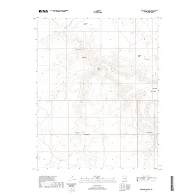
2018 Map of Robinson Canyon
USGS Topo · Published 2018About this map
Sunshine Ridge and Sunshine Point define the high elevations of this Mohave County landscape, where water management is central to the remote terrain. This 2018 survey documents a network of canyons and vital water sources, including Hack Reservoir, Robinson Reservoir, and Nates Tank, which serve as critical landmarks in an otherwise arid expanse. The drainage system is anchored by Robinson Wash, which cuts through the central Robinson Canyon and the southern Little Robinson Canyon. Transportation is limited to the northern edge of the sheet along Co HWY 109. The map provides a precise view of the Public Land Survey System divisions, specifically t37n r5w and its surrounding townships, essential for modern land navigation and grazing boundaries.
Find a feature on this map
16 named features on this map. Tap any name to fly to it.
Don’t see what you’re looking for? This feature index may not catch every label — zoom into the map to look around manually.
Map Details
Editions of this 2018 Robinson Canyon Map
This is the sole edition of this map. No revisions or reprints were ever made.
Other maps of this area

1886 · Kaibab
USGS Topo · 1:250,000

1953 · Grand Canyon
USGS Topo · 1:250,000

1954 · Heaton Knolls NW
USGS Topo · 1:24,000

1954 · Heaton Knolls SE
USGS Topo · 1:24,000

1954 · Heaton Knolls
USGS Topo · 1:62,500

1957 · Grand Canyon
USGS Topo · 1:250,000

1957 · Jumpup Canyon
USGS Topo · 1:62,500

1958 · Grand Canyon
USGS Topo · 1:250,000

1960 · Grand Canyon
USGS Topo · 1:250,000

1962 · Kanab Point
USGS Topo · 1:62,500