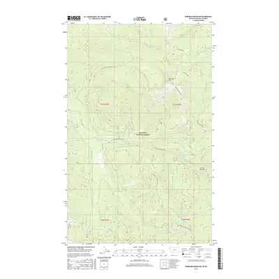
2017 Map of Robinson Mountain
USGS Topo · Published 2017About this map
The Kootenai National Forest dominates this mountain landscape, defined by the high peaks of the Purcell Mountains in northwestern Montana. High-altitude hydrology is a central feature, with Lake Geneva, Gold Lake, and Plumb Bob Lake situated among the ridgelines surrounding Robinson Mtn. The drainage patterns are clearly delineated, showing the headwaters of the E Fork Yaak River and numerous tributaries such as Young Creek, Basin Cr, and Porcupine Cr.
Find a feature on this map
32 named features on this map. Tap any name to fly to it.
Don’t see what you’re looking for? This feature index may not catch every label — zoom into the map to look around manually.
Map Details
Editions of this 2017 Robinson Mountain Map
This is the sole edition of this map. No revisions or reprints were ever made.
Other maps of this area

1957 · Kalispell
USGS Topo · 1:250,000

1960 · Kalispell
USGS Topo · 1:250,000

1961 · Kalispell
USGS Topo · 1:250,000

1963 · Robinson Mountain
USGS Topo · 1:24,000

1963 · Red Mountain
USGS Topo · 1:24,000

1963 · Webb Mountain
USGS Topo · 1:24,000

1963 · Boulder Lakes
USGS Topo · 1:24,000

1963 · Mount Henry
USGS Topo · 1:24,000

1963 · Lost Horse Mountain
USGS Topo · 1:24,000

1979 · Yaak River
USGS Topo · 1:100,000