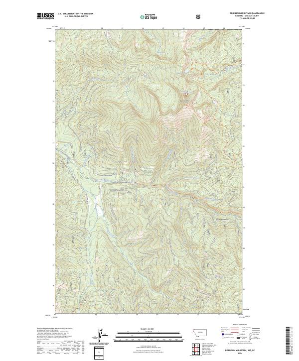
2024 Map of Robinson Mountain
USGS Topo · Published 2024About this map
Kootenai National Forest dominates this landscape in the Purcell Mountains of Lincoln County. The high elevation is anchored by Robinson Mtn, which serves as a central drainage point for numerous watercourses, including Robinson Creek and Bridge Creek. These streams eventually contribute to the East Fork Yaak River, which cuts across the central portion of the map. The drainage patterns and topographic relief here illustrate a wilderness managed for conservation and forestry, where movement is dictated by a network of logging and development roads. High-country lakes like Gold Lake, Lake Geneva, and Plumb Bob Lake are accessible via established paths such as the Geneva Lake Trl and Robinson Mountain Trl, which provide the primary human interface with this high-altitude environment. The presence of the Dodge Summit Trl further underscores the area's history of backcountry access and trail development within the national forest system.
Find a feature on this map
35 named features on this map. Tap any name to fly to it.
Don’t see what you’re looking for? This feature index may not catch every label — zoom into the map to look around manually.
Map Details
Editions of this 2024 Robinson Mountain Map
This is the sole edition of this map. No revisions or reprints were ever made.
Other maps of this area

1957 · Kalispell
USGS Topo · 1:250,000

1960 · Kalispell
USGS Topo · 1:250,000

1961 · Kalispell
USGS Topo · 1:250,000

1963 · Robinson Mountain
USGS Topo · 1:24,000

1963 · Red Mountain
USGS Topo · 1:24,000

1963 · Webb Mountain
USGS Topo · 1:24,000

1963 · Boulder Lakes
USGS Topo · 1:24,000

1963 · Mount Henry
USGS Topo · 1:24,000

1963 · Lost Horse Mountain
USGS Topo · 1:24,000

1979 · Yaak River
USGS Topo · 1:100,000