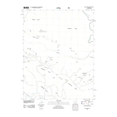
2011 Map of Roc Creek
USGS Topo · Published 2011About this map
Sinbad Valley and the surrounding high country define a landscape shaped by significant mining activity and the course of the Dolores River. This 2011 map reveals a density of named mineral claims, from the Sinbad Group Mine in the north to the Radium Cycle Mine and Three Musketeers Mine further south. The geological complexity of the area is evident in the dramatic terrain of Sewemup Mesa and the drainage patterns of Roc Creek. Historical land use is captured through ranching markers like Pace Ranch and an extensive network of resource roads such as Geyser Pass Rd and Carpenter Ridge Truck Rd. These tracks connect remote sites across Carpenter Ridge and into the Paradox Valley, illustrating the intersection of natural topography and industrial extraction in this corner of Mesa County.
Find a feature on this map
63 named features on this map. Tap any name to fly to it.
Don’t see what you’re looking for? This feature index may not catch every label — zoom into the map to look around manually.
Map Details
Editions of this 2011 Roc Creek Map
This is the sole edition of this map. No revisions or reprints were ever made.
Other maps of this area

1885 · La Sal
USGS Topo · 1:250,000

1916 · Paradox Valley
USGS Topo · 1:125,000

1922 · Paradox Valley
USGS Topo · 1:125,000

1948 · Roc Creek
USGS Topo · 1:24,000

1948 · Paradox
USGS Topo · 1:24,000

1949 · Davis Mesa
USGS Topo · 1:24,000

1949 · Paradox
USGS Topo · 1:24,000

1949 · Roc Creek
USGS Topo · 1:24,000

1949 · Juanita Arch
USGS Topo · 1:24,000

1949 · Red Canyon
USGS Topo · 1:24,000