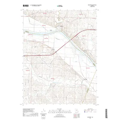
2017 Map of Rocheport
USGS Topo · Published 2017About this map
The Missouri River carves through the heart of this central Missouri landscape, shaping the dramatic Rocheport Bends and the towering Big Manitou Bluffs. Along its northern bank, the historic river town of Rocheport is meticulously detailed, showing the layout of its original grid including 1st St, 2nd St, and Third St. The convergence of Moniteau Creek and the river defines the boundary between Howard and Boone counties, highlighting the geographical importance of this river crossing.
Find a feature on this map
74 named features on this map. Tap any name to fly to it.
Don’t see what you’re looking for? This feature index may not catch every label — zoom into the map to look around manually.
Map Details
Editions of this 2017 Rocheport Map
This is the sole edition of this map. No revisions or reprints were ever made.
Other maps of this area

1886 · Jefferson City
USGS Topo · 1:125,000

1888 · Boonville
USGS Topo · 1:125,000

1890 · Moberly
USGS Topo · 1:125,000

1890 · Glasgow
USGS Topo · 1:125,000

1894 · Jefferson City
USGS Topo · 1:125,000

1917 · Sturgeon
USGS Topo · 1:62,500

1947 · Jefferson City
USGS Topo · 1:250,000

1948 · Columbia
USGS Topo · 1:62,500

1950 · Columbia
USGS Topo · 1:62,500

1952 · Rocheport
USGS Topo · 1:24,000