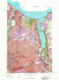
1952 Map of Rochester East
USGS Topo · Published 1970About this map
Irondequoit Bay and the Genesee River define this mid-century landscape of northern Monroe County, capturing a period of significant suburban expansion around Rochester. The map illustrates a dense network of neighborhoods and civic infrastructure, from the lakeside resorts at Sea Breeze and Oklahoma Beach to the established educational hubs of Benjamin Franklin Sch and Irondequoit High Sch. Notable for its detail of public spaces, the sheet highlights the expansive Durand Eastman Park along the Lake Ontario shoreline and the botanical heritage of Highland Park to the south.
Find a feature on this map
54 named features on this map. Tap any name to fly to it.
Don’t see what you’re looking for? This feature index may not catch every label — zoom into the map to look around manually.
Map Details
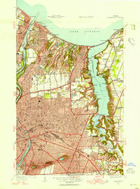
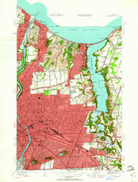
Editions of this 1952 Rochester East Map
3 editions found
Other maps of this area

1895 · Rochester
USGS Topo · 1:62,500

1895 · Ontario Beach
USGS Topo · 1:62,500

1898 · Rochester
USGS Topo · 1:62,500

1899 · Ontario Beach
USGS Topo · 1:62,500

1900 · Macedon
USGS Topo · 1:62,500

1912 · Rochester
USGS Topo · 1:62,500

1912 · Ontario Beach
USGS Topo · 1:62,500

1920 · Rochester
USGS Topo · 1:62,500

1931 · Mendon Ponds
USGS Topo · 1:24,000

1931 · Rochester West
USGS Topo · 1:24,000