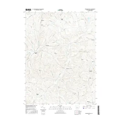
2016 Map of Rochester Mills
USGS Topo · Published 2016About this map
Rochester Mills and the surrounding townships of Indiana County appear here as a landscape defined by deeply incised stream valleys and narrow ridges. The drainage of Little Mahoning Creek serves as the central artery for the region, joined by numerous tributaries like Broadhead Run, Leasure Run, and Straight Run. These waterways carved the terrain that local families settled, creating the prominent high points of Canoe Ridge and Doty Roundtop.
Find a feature on this map
115 named features on this map. Tap any name to fly to it.
Don’t see what you’re looking for? This feature index may not catch every label — zoom into the map to look around manually.
Map Details
Editions of this 2016 Rochester Mills Map
This is the sole edition of this map. No revisions or reprints were ever made.
Other maps of this area

1902 · Indiana
USGS Topo · 1:62,500

1902 · Barnesboro
USGS Topo · 1:62,500

1904 · Barnesboro
USGS Topo · 1:62,500

1906 · Punxsutawney
USGS Topo · 1:62,500

1909 · Smicksburg
USGS Topo · 1:62,500

1938 · Smicksburg
USGS Topo · 1:62,500

1939 · Smicksburg
USGS Topo · 1:62,500

1939 · Punxsutawney
USGS Topo · 1:62,500

1942 · Punxsutawney
USGS Topo · 1:62,500

1943 · Punxsutawney
USGS Topo · 1:125,000
Featured Places
- Banks Township, PA
- Smithport, Banks Township
- Enterprise, Canoe Township
- Nashville, Grant Township
- East Mahoning Township, PA