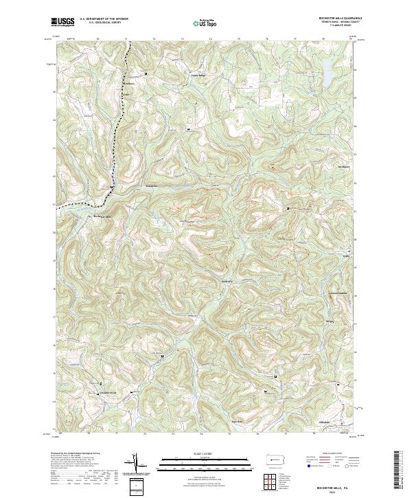
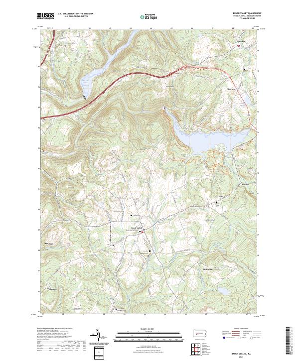
2023 Map of Rochester Mills
USGS Topo · Published 2023About this map
Little Mahoning Creek carves a winding path through this portion of Indiana County, anchoring a landscape of ridge-top settlements and valley homesteads. The village of Rochester Mills serves as a central point, while smaller communities like Nashville, Gipsy, and Deckers Point are connected by a network of rural routes such as Nashville Rd and Pickering Run Rd. The area is notably dense with family and community burial grounds, including Pine Vale Cem, Shilo Cem, and Montgomery Cem, which offer significant touchpoints for genealogists tracing the lineage of rural Pennsylvania families.
Find a feature on this map
117 named features on this map. Tap any name to fly to it.
Don’t see what you’re looking for? This feature index may not catch every label — zoom into the map to look around manually.
Map Details
Editions of this 2023 Rochester Mills Map
This is the sole edition of this map. No revisions or reprints were ever made.
Historical Maps of Canoe Ridge Through Time
11 maps found

1902 Barnesboro
Indiana County, PA
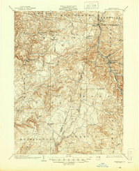
1904 Barnesboro
Indiana County, PA
1961 Strongstown
Indiana County, PA
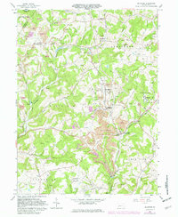
1963 Brush Valley
Indiana County, PA
1964 Mc Intyre
Indiana County, PA
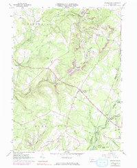
1968 Rochester Mills
Indiana County, PA
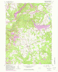
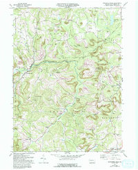
1998 Brush Valley
Indiana County, PA
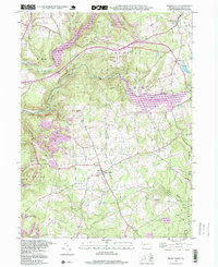
2023 Brush Valley
Indiana County, PA
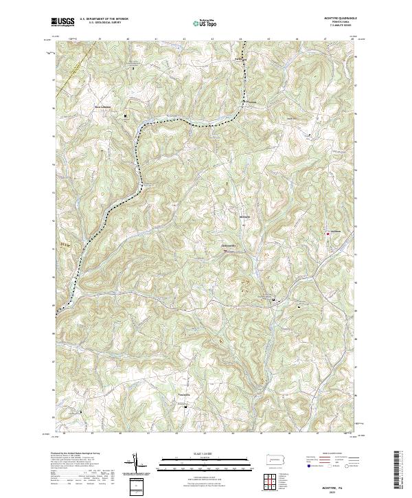
2023 McIntyre
Indiana County, PA
2023 Rochester Mills
Indiana County, PA
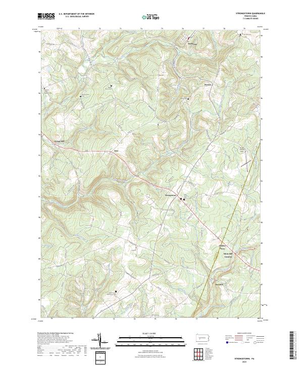
2023 Strongstown
Indiana County, PA
Featured Locations
- Montgomery Township, PA
- Banks Township, PA
- Canoe Township, PA
- East Mahoning Township, PA
- Grant Township, PA