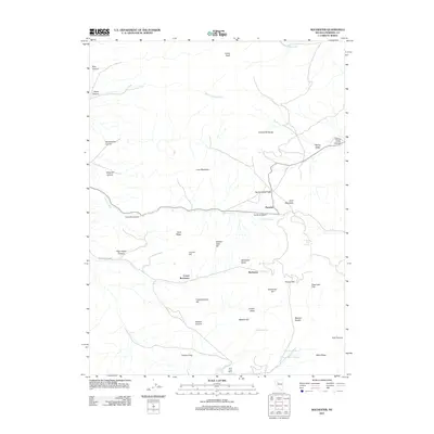
2011 Map of Rochester
USGS Topo · Published 2011About this map
Rochester and Lower Rochester sit at the center of this 2011 survey, marking a landscape defined by its mining-era topography within the Humboldt Range. The map details a complex network of canyons and ridges, including Gold Ridge, Gold Mountain, and Lincoln Hill, which underscore the historical importance of mineral wealth in this part of Pershing County. Further south, Foltz Post Office remains a significant point of interest for genealogists tracing early 20th-century mail routes and rural habitation near Packard Flat.
Find a feature on this map
43 named features on this map. Tap any name to fly to it.
Don’t see what you’re looking for? This feature index may not catch every label — zoom into the map to look around manually.
Map Details
Editions of this 2011 Rochester Map
This is the sole edition of this map. No revisions or reprints were ever made.
Other maps of this area

1931 · Lovelock
USGS Topo · 1:250,000

1935 · Lovelock
USGS Topo · 1:250,000

1954 · Unionville
USGS Topo · 1:62,500

1954 · Buffalo Mtn
USGS Topo · 1:62,500

1955 · Lovelock
USGS Topo · 1:250,000

1956 · Oreana
USGS Topo · 1:62,500

1956 · Lovelock
USGS Topo · 1:62,500

1959 · Lovelock
USGS Topo · 1:250,000

1984 · Lovelock
USGS Topo · 1:100,000
1987 · Rye Patch Dam
USGS Topo · 1:24,000