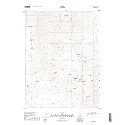
2018 Map of Rochester
USGS Topo · Published 2018About this map
The silver-mining legacy of the Humboldt Range is etched into this 2018 survey of the Rochester District in Pershing County. Two distinct settlement nodes, Rochester and Lower Rochester, are situated within the steep-walled Rochester Canyon, surrounded by a landscape dominated by historic prospecting sites and topographic landmarks. The map details a high-elevation environment where Lincoln Hill, Gold Ridge, and Golden Gate Hill overlook the narrow canyon floors, revealing the concentrated footprint of mountain industry.
Find a feature on this map
55 named features on this map. Tap any name to fly to it.
Don’t see what you’re looking for? This feature index may not catch every label — zoom into the map to look around manually.
Map Details
Editions of this 2018 Rochester Map
This is the sole edition of this map. No revisions or reprints were ever made.
Other maps of this area

1931 · Lovelock
USGS Topo · 1:250,000

1935 · Lovelock
USGS Topo · 1:250,000

1954 · Unionville
USGS Topo · 1:62,500

1954 · Buffalo Mtn
USGS Topo · 1:62,500

1955 · Lovelock
USGS Topo · 1:250,000

1956 · Oreana
USGS Topo · 1:62,500

1956 · Lovelock
USGS Topo · 1:62,500

1959 · Lovelock
USGS Topo · 1:250,000

1984 · Lovelock
USGS Topo · 1:100,000
1987 · Rye Patch Dam
USGS Topo · 1:24,000