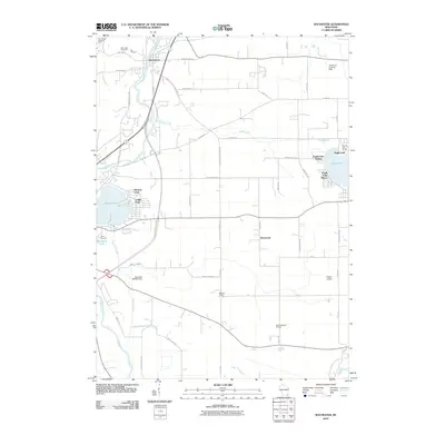
2010 Map of Rochester
USGS Topo · Published 2010About this map
The Fox River winds through the heart of this Racine County landscape, anchoring the settlement of Rochester and driving the local hydrology near the Rochester 2WP427 Dam. This 2010 survey illustrates a region defined by its productive agricultural land and recreational water bodies. Scattered orchards, including Ela Orchard in the north and Brightonwoods Orchard to the south, highlight the area's ongoing agrarian character.
Find a feature on this map
57 named features on this map. Tap any name to fly to it.
Don’t see what you’re looking for? This feature index may not catch every label — zoom into the map to look around manually.
Map Details
Editions of this 2010 Rochester Map
This is the sole edition of this map. No revisions or reprints were ever made.
Other maps of this area

1891 · Muskego
USGS Topo · 1:62,500

1892 · Eagle
USGS Topo · 1:62,500

1893 · Silver Lake
USGS Topo · 1:62,500

1893 · Geneva
USGS Topo · 1:62,500

1894 · Eagle
USGS Topo · 1:62,500

1897 · Eagle
USGS Topo · 1:62,500

1901 · Muskego
USGS Topo · 1:62,500

1904 · Lake Geneva
USGS Topo · 1:62,500

1906 · Eagle
USGS Topo · 1:62,500

1906 · Silver Lake
USGS Topo · 1:62,500