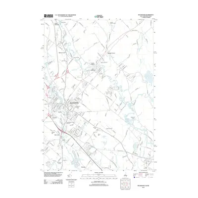
2012 Map of Rochester
USGS Topo · Published 2012About this map
The Cocheco River and Salmon Falls River define the industrial and civic landscape of Rochester in the early 21st century. This survey details the transition from the historic city core to outlying areas like Gonic and East Rochester, where aviation and institutional growth are evident at Skyhaven Airport and Granite State College at Rochester. Numerous burial grounds, including Cimetiere Du Sainte Rosaire, Saint Marys Cem, and Mont-Calvaire Cimetiere, provide significant genealogical markers for the region's diverse history. The persistence of local gathering places is seen at the Rochester Fairgrounds, while the surrounding terrain is marked by prominent elevations such as Gonic Hill and Haven Hill. Smaller water features like Heath Brook and Lily Pond remain central to the local geography amidst modern residential expansion.
Find a feature on this map
210 named features on this map. Tap any name to fly to it.
Don’t see what you’re looking for? This feature index may not catch every label — zoom into the map to look around manually.
Map Details
Editions of this 2012 Rochester Map
This is the sole edition of this map. No revisions or reprints were ever made.
Other maps of this area

1891 · Berwick
USGS Topo · 1:62,500

1893 · Dover
USGS Topo · 1:62,500

1893 · Berwick
USGS Topo · 1:62,500

1916 · Dover
USGS Topo · 1:62,500

1917 · Mt. Pawtuckaway
USGS Topo · 1:62,500

1918 · Dover
USGS Topo · 1:62,500

1919 · Mt. Pawtuckaway
USGS Topo · 1:62,500

1919 · Alton
USGS Topo · 1:62,500

1933 · Berwick
USGS Topo · 1:48,000

1937 · Berwick
USGS Topo · 1:62,500