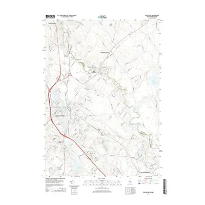
2015 Map of Rochester
USGS Topo · Published 2015About this map
The Salmon Falls River serves as a natural boundary between New Hampshire and Maine, carving a path through the residential and industrial centers of Rochester and Somersworth. This modern survey illustrates the dense layout of the Tri-City area, where the Cocheco River flows through the historic village of Gonic before reaching the Rochester Sewage Lagoons. Genealogists will find a concentration of burial grounds, including the Old Town Cem, the Cimetiere Du Sainte Rosaire, and Mont-Calvaire Cimetiere, reflecting the diverse cultural heritage of the textile and mill workers who settled here. Aviation hubs like Skyhaven Airport and the Skydive Lebanon Airport near Blaisdell Corners define the regional transportation landscape, while smaller hamlets like East Rochester and Pickering maintain their distinct neighborhood identities amidst the urban growth.
Find a feature on this map
199 named features on this map. Tap any name to fly to it.
Don’t see what you’re looking for? This feature index may not catch every label — zoom into the map to look around manually.
Map Details
Editions of this 2015 Rochester Map
This is the sole edition of this map. No revisions or reprints were ever made.
Other maps of this area

1891 · Berwick
USGS Topo · 1:62,500

1893 · Dover
USGS Topo · 1:62,500

1893 · Berwick
USGS Topo · 1:62,500

1916 · Dover
USGS Topo · 1:62,500

1917 · Mt. Pawtuckaway
USGS Topo · 1:62,500

1918 · Dover
USGS Topo · 1:62,500

1919 · Mt. Pawtuckaway
USGS Topo · 1:62,500

1919 · Alton
USGS Topo · 1:62,500

1933 · Berwick
USGS Topo · 1:48,000

1937 · Berwick
USGS Topo · 1:62,500