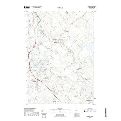
2018 Map of Rochester
USGS Topo · Published 2018About this map
The Salmon Falls River defines the winding boundary between Maine and New Hampshire, anchoring a landscape where industrial heritage meets suburban growth. In this 2018 survey, the city of Rochester serves as the central hub, surrounded by smaller historic nodes like Gonic, West Gonic, and Pickering. The map reveals a high density of community landmarks, particularly cemeteries such as Old Town Cem and the Cimetiere Du Sainte Rosaire, which offer significant value for genealogical research in Strafford County. Transportation and industry are evident in the presence of the Rochester Sewage Lagoons and the proximity of Skyhaven Airport. Moving south toward Somersworth, the terrain transitions into more residential and educational spaces, including the Empire Beauty School Somersworth. This modern topo captures the area's intricate network of brooks, such as Heath Brook and Keay Brook, that continue to shape the local geography.
Find a feature on this map
75 named features on this map. Tap any name to fly to it.
Don’t see what you’re looking for? This feature index may not catch every label — zoom into the map to look around manually.
Map Details
Editions of this 2018 Rochester Map
This is the sole edition of this map. No revisions or reprints were ever made.
Other maps of this area

1891 · Berwick
USGS Topo · 1:62,500

1893 · Dover
USGS Topo · 1:62,500

1893 · Berwick
USGS Topo · 1:62,500

1916 · Dover
USGS Topo · 1:62,500

1917 · Mt. Pawtuckaway
USGS Topo · 1:62,500

1918 · Dover
USGS Topo · 1:62,500

1919 · Mt. Pawtuckaway
USGS Topo · 1:62,500

1919 · Alton
USGS Topo · 1:62,500

1933 · Berwick
USGS Topo · 1:48,000

1937 · Berwick
USGS Topo · 1:62,500