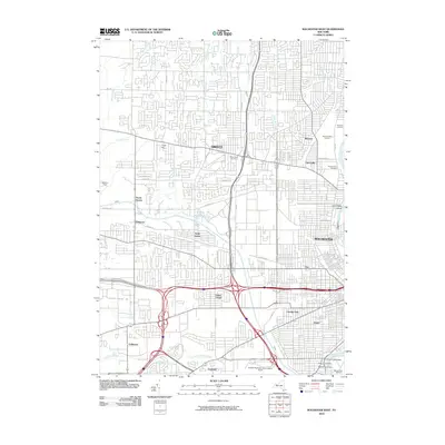
2010 Map of Rochester West
USGS Topo · Published 2010About this map
The Genesee River serves as the eastern boundary for this detailed study of Western Monroe County during the early 21st century. The landscape is a complex mix of established residential neighborhoods and massive commercial developments, most notably The Mall at Greece Ridge Center in Greece and the sprawling Rochester Technology Park to the west. Several distinct historic communities like Barnard, Otis, and Lincoln Park remain embedded within the modern grid, providing a clear view of the area's suburban evolution.
Find a feature on this map
55 named features on this map. Tap any name to fly to it.
Don’t see what you’re looking for? This feature index may not catch every label — zoom into the map to look around manually.
Map Details
Editions of this 2010 Rochester West Map
This is the sole edition of this map. No revisions or reprints were ever made.
Other maps of this area

1895 · Rochester
USGS Topo · 1:62,500

1895 · Ontario Beach
USGS Topo · 1:62,500

1898 · Rochester
USGS Topo · 1:62,500

1899 · Hamlin
USGS Topo · 1:62,500

1899 · Ontario Beach
USGS Topo · 1:62,500

1899 · Brockport
USGS Topo · 1:62,500

1912 · Rochester
USGS Topo · 1:62,500

1912 · Ontario Beach
USGS Topo · 1:62,500

1920 · Rochester
USGS Topo · 1:62,500

1931 · Mendon Ponds
USGS Topo · 1:24,000