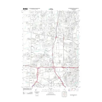
2013 Map of Rochester West
USGS Topo · Published 2013About this map
The Genesee River serves as the eastern anchor for this 2013 survey of the suburbs and industrial corridors west of downtown Rochester. The landscape is a dense network of residential neighborhoods and transit infrastructure, featuring key community hubs like Lincoln Park, Arnett, and the historic Susan B Anthony House. The map records a concentration of significant burial grounds, from the large Holy Sepulchre Cem and Riverside Cem near the river to the Beth Hamedresh Hagodel Cem in the north. Settlement patterns follow the older villages of Barnard, Gates Center, and Coldwater. Infrastructure is marked by crossings such as Erie Canal Bridge 8 and Erie Canal Bridge 9, while recreational and natural spaces like Seth Green Island and Flower City Park provide a green contrast to the urban grid.
Find a feature on this map
34 named features on this map. Tap any name to fly to it.
Don’t see what you’re looking for? This feature index may not catch every label — zoom into the map to look around manually.
Map Details
Editions of this 2013 Rochester West Map
This is the sole edition of this map. No revisions or reprints were ever made.
Other maps of this area

1895 · Rochester
USGS Topo · 1:62,500

1895 · Ontario Beach
USGS Topo · 1:62,500

1898 · Rochester
USGS Topo · 1:62,500

1899 · Hamlin
USGS Topo · 1:62,500

1899 · Ontario Beach
USGS Topo · 1:62,500

1899 · Brockport
USGS Topo · 1:62,500

1912 · Rochester
USGS Topo · 1:62,500

1912 · Ontario Beach
USGS Topo · 1:62,500

1920 · Rochester
USGS Topo · 1:62,500

1931 · Mendon Ponds
USGS Topo · 1:24,000