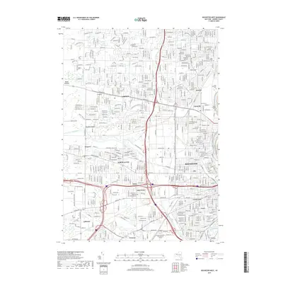
2019 Map of Rochester West
USGS Topo · Published 2019About this map
The Erie Canal cuts through this western portion of the city, serving as a primary corridor for the residential and industrial growth of Rochester and its suburban surroundings. The landscape is defined by the convergence of major transit arteries and historical water routes, including the Genesee River winding along the eastern boundary. This 2019 survey documents the transition from the city’s dense residential pockets like Barnard and Uptonville to the expanding commercial centers of Gates and Greece.
Find a feature on this map
45 named features on this map. Tap any name to fly to it.
Don’t see what you’re looking for? This feature index may not catch every label — zoom into the map to look around manually.
Map Details
Editions of this 2019 Rochester West Map
This is the sole edition of this map. No revisions or reprints were ever made.
Other maps of this area

1895 · Rochester
USGS Topo · 1:62,500

1895 · Ontario Beach
USGS Topo · 1:62,500

1898 · Rochester
USGS Topo · 1:62,500

1899 · Hamlin
USGS Topo · 1:62,500

1899 · Ontario Beach
USGS Topo · 1:62,500

1899 · Brockport
USGS Topo · 1:62,500

1912 · Rochester
USGS Topo · 1:62,500

1912 · Ontario Beach
USGS Topo · 1:62,500

1920 · Rochester
USGS Topo · 1:62,500

1931 · Mendon Ponds
USGS Topo · 1:24,000