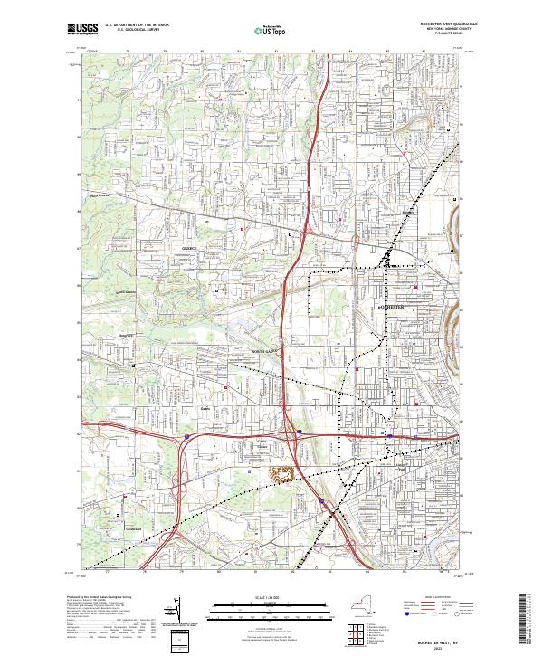
2023 Map of Rochester West
USGS Topo · Published 2023About this map
The Genesee River and the historic Erie Canal anchor this western portion of the Rochester metropolitan area, illustrating the enduring influence of 19th-century transportation on modern urban layout. Densely developed residential neighborhoods and industrial zones such as Kodak Park characterize the eastern half, while the western reaches around West Greece and Elmgrove retain a more suburban character. Numerous historic burial grounds are dispersed throughout the landscape, including the large Holy Sepulchre Cem and the more specialized Waad Hakolel Cem. Educational institutions like the University of Rochester and Bryant and Stratton College Greece are prominent landmarks. The map also traces the winding courses of several waterways, such as Round Pond Creek and Larkin Creek, which weave through established communities like Greece and Gates Center.
Find a feature on this map
71 named features on this map. Tap any name to fly to it.
Don’t see what you’re looking for? This feature index may not catch every label — zoom into the map to look around manually.
Map Details
Editions of this 2023 Rochester West Map
This is the sole edition of this map. No revisions or reprints were ever made.
Other maps of this area

1895 · Rochester
USGS Topo · 1:62,500

1895 · Ontario Beach
USGS Topo · 1:62,500

1898 · Rochester
USGS Topo · 1:62,500

1899 · Hamlin
USGS Topo · 1:62,500

1899 · Ontario Beach
USGS Topo · 1:62,500

1899 · Brockport
USGS Topo · 1:62,500

1912 · Rochester
USGS Topo · 1:62,500

1912 · Ontario Beach
USGS Topo · 1:62,500

1920 · Rochester
USGS Topo · 1:62,500

1931 · Mendon Ponds
USGS Topo · 1:24,000