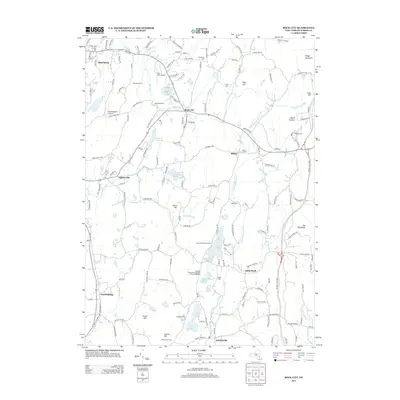
2013 Map of Rock City
USGS Topo · Published 2013About this map
Shookville Cem and Teats Cem occupy the northern reaches of this Dutchess County landscape, where the Saw Kill and Little Wappinger Cr drain a terrain marked by numerous summer camps and private aviation fields. The settlement of Rock City sits centrally, surrounded by smaller hamlets like Eighmyville and Bulls Head that maintain the area’s rural character. Aviation history is particularly prominent here with the presence of the Old Rhinebeck Airport and Sky Park Airport near the border of Red Hook. The map documents a dense concentration of organized camps, including Camp Rising Sun and Camp Kanawha Minawha, reflecting the region’s long-standing role as a recreational retreat. To the south, Schultzville and Wurtemburg anchor the local road network amidst family-named landmarks such as Traver Hill and Chimney Hill Farm.
Find a feature on this map
161 named features on this map. Tap any name to fly to it.
Don’t see what you’re looking for? This feature index may not catch every label — zoom into the map to look around manually.
Map Details
Editions of this 2013 Rock City Map
This is the sole edition of this map. No revisions or reprints were ever made.
Other maps of this area

1895 · Catskill
USGS Topo · 1:62,500

1898 · Rhinebeck
USGS Topo · 1:62,500

1899 · Millbrook
USGS Topo · 1:62,500

1902 · Millbrook
USGS Topo · 1:62,500

1902 · Copake
USGS Topo · 1:62,500

1904 · Copake
USGS Topo · 1:62,500

1934 · Rhinebeck
USGS Topo · 1:48,000

1934 · Catskill
USGS Topo · 1:62,500

1938 · Catskill
USGS Topo · 1:62,500

1939 · Rhinebeck
USGS Topo · 1:62,500