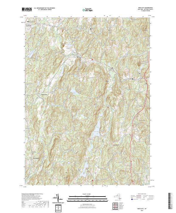
2023 Map of Rock City
USGS Topo · Published 2023About this map
Old Rhinebeck Airport stands as a prominent landmark in this portion of Dutchess County, situated just west of Rock City. The landscape is defined by the winding course of Little Wappinger Creek and the Saw Kill, which drain a terrain of numerous small summits such as Mount Concert, Doty Hill, and Boice Hill. This map reveals a high density of small, family-named burial grounds and churchyards, including the Quaker Burial Ground - Thorpe Cem and Teats Cem, suggesting a long-established rural social fabric. Small hamlets like Wurtemburg, Eighmyville, and Bulls Head are connected by a network of historic roads including White Schoolhouse Rd and Zipfelburg Rd. These settlements often sit near significant water bodies like Sepasco Lake and Silver Lake, reflecting early settlement patterns centered on the county's varied hydrology and well-drained upland hills.
Find a feature on this map
147 named features on this map. Tap any name to fly to it.
Don’t see what you’re looking for? This feature index may not catch every label — zoom into the map to look around manually.
Map Details
Editions of this 2023 Rock City Map
This is the sole edition of this map. No revisions or reprints were ever made.
Other maps of this area

1895 · Catskill
USGS Topo · 1:62,500

1898 · Rhinebeck
USGS Topo · 1:62,500

1899 · Millbrook
USGS Topo · 1:62,500

1902 · Millbrook
USGS Topo · 1:62,500

1902 · Copake
USGS Topo · 1:62,500

1904 · Copake
USGS Topo · 1:62,500

1934 · Rhinebeck
USGS Topo · 1:48,000

1934 · Catskill
USGS Topo · 1:62,500

1938 · Catskill
USGS Topo · 1:62,500

1939 · Rhinebeck
USGS Topo · 1:62,500