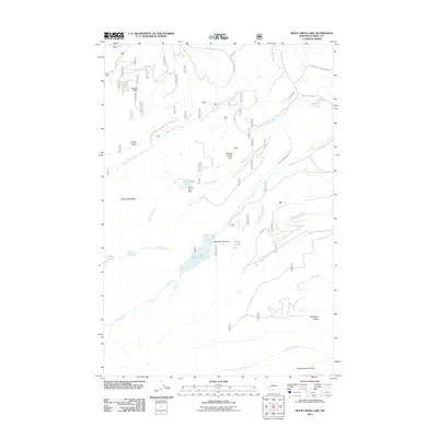
2011 Map of Rock Creek Lake
USGS Topo · Published 2011About this map
Rock Creek Lake sits at the heart of this Powell County high-country landscape, where the waters of Rock Creek are managed by the Rock Creek Lake Dam. The terrain is defined by a network of drainage systems and early irrigation infrastructure, notably the Old China Ditch and the Kohrs and Bielenberg Ditch, which speak to the complex history of water rights and ranching in the region. To the north, Willow Creek Park and Ballard Hill overlook the winding courses of Pikes Peak Creek and Willow Creek. Further south, the landscape rises toward Robinson Ridge and the unusually named South America Park. This 2011 survey captures the area's mix of natural features like Rock Creek Falls and man-made structures including the Doney Lake Dam, illustrating how the mountain hydrology has been harnessed over time.
Find a feature on this map
25 named features on this map. Tap any name to fly to it.
Don’t see what you’re looking for? This feature index may not catch every label — zoom into the map to look around manually.
Map Details
Editions of this 2011 Rock Creek Lake Map
This is the sole edition of this map. No revisions or reprints were ever made.
Other maps of this area

1889 · Helena
USGS Topo · 1:250,000

1893 · Helena
USGS Topo · 1:250,000

1899 · Helena
USGS Topo · 1:250,000

1903 · Helena
USGS Topo · 1:250,000

1908 · Philipsburg
USGS Topo · 1:125,000

1919 · Drummond
USGS Topo · 1:125,000

1921 · Drummond
USGS Topo · 1:125,000

1947 · Butte
USGS Topo · 1:250,000

1958 · Butte
USGS Topo · 1:250,000

1958 · Drummond
USGS Topo · 1:62,500