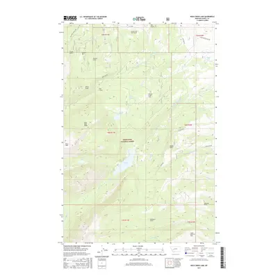
2017 Map of Rock Creek Lake
USGS Topo · Published 2017About this map
Deerlodge National Forest encompasses this high-altitude landscape in Powell County, where water management and mountainous terrain define the local geography. The map reveals an intricate network of historical irrigation infrastructure, including the Old China Ditch, Pauly Ditch, and the Kohrs and Helenberg Ditch, which redirect water from sources like Rock Creek to support the surrounding valleys. High-country drainage is centered on features like Rock Creek Lake and the dramatic Rock Creek Falls. Significant peaks and formations such as Pikes Peak Ridge and The Crater loom over valleys like Pioneer Gulch and Mullan Gulch. This 2017 survey documents the modern state of remote access routes like Gold Creek Lakes Rd and Old Stage Rd, which navigate the steep divide between the forest and the specialized water features like Nine Trough Spring and Dolus Lakes.
Find a feature on this map
44 named features on this map. Tap any name to fly to it.
Don’t see what you’re looking for? This feature index may not catch every label — zoom into the map to look around manually.
Map Details
Editions of this 2017 Rock Creek Lake Map
This is the sole edition of this map. No revisions or reprints were ever made.
Other maps of this area

1889 · Helena
USGS Topo · 1:250,000

1893 · Helena
USGS Topo · 1:250,000

1899 · Helena
USGS Topo · 1:250,000

1903 · Helena
USGS Topo · 1:250,000

1908 · Philipsburg
USGS Topo · 1:125,000

1919 · Drummond
USGS Topo · 1:125,000

1921 · Drummond
USGS Topo · 1:125,000

1947 · Butte
USGS Topo · 1:250,000

1958 · Butte
USGS Topo · 1:250,000

1958 · Drummond
USGS Topo · 1:62,500