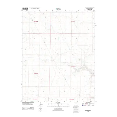
2013 Map of Rock Crossing
USGS Topo · Published 2013About this map
Big Water Arroyo and the winding channels of Taylor Arroyo dominate this semi-arid landscape in Las Animas County. The settlement of Rock Crossing serves as a focal point in a region characterized by its drainage systems and ephemeral watercourses. Historically, these arroyos have shaped movement and land use across the high plains of southern Colorado. Infrastructure is sparse, marked primarily by the industrial track of Pipeline Rd, which traverses several townships including t030s r058w and t029s r059w. The map provides a detailed view of the Public Land Survey System grid and the natural erosional features, such as Burke Arroyo, that define the local topography.
Find a feature on this map
11 named features on this map. Tap any name to fly to it.
Don’t see what you’re looking for? This feature index may not catch every label — zoom into the map to look around manually.
Map Details
Editions of this 2013 Rock Crossing Map
This is the sole edition of this map. No revisions or reprints were ever made.
Other maps of this area

1891 · Timpas
USGS Topo · 1:125,000

1891 · Apishapa
USGS Topo · 1:125,000

1891 · Mesa De Maya
USGS Topo · 1:125,000

1892 · Elmoro
USGS Topo · 1:125,000

1893 · Apishapa
USGS Topo · 1:125,000

1893 · Elmoro
USGS Topo · 1:125,000

1893 · Mesa de Maya
USGS Topo · 1:125,000

1894 · Timpas
USGS Topo · 1:125,000

1897 · Elmoro
USGS Topo · 1:125,000

1897 · Apishapa
USGS Topo · 1:125,000