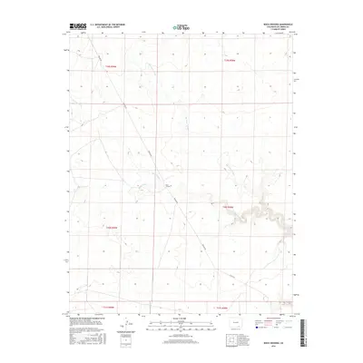
2016 Map of Rock Crossing
USGS Topo · Published 2016About this map
Rock Crossing identifies a prominent geographic point in this high plains landscape of Las Animas County, where the dry washes of Big Water Arroyo and Taylor Arroyo carve through the arid terrain. The map captures a largely uninhabited expanse defined by its drainage patterns and the infrastructure of the energy industry, most notably the long trajectory of Pipeline Rd. This service road cuts diagonally across the township and range lines, serving as a primary corridor through a region otherwise marked only by ephemeral streams like Burke Arroyo. While modern, the survey provides essential spatial context for the historic ranching lands of Southern Colorado, showing how primitive routes and county roads like Co Rd 143 interface with the natural topography of the high desert plateau.
Find a feature on this map
12 named features on this map. Tap any name to fly to it.
Don’t see what you’re looking for? This feature index may not catch every label — zoom into the map to look around manually.
Map Details
Editions of this 2016 Rock Crossing Map
This is the sole edition of this map. No revisions or reprints were ever made.
Other maps of this area

1891 · Timpas
USGS Topo · 1:125,000

1891 · Apishapa
USGS Topo · 1:125,000

1891 · Mesa De Maya
USGS Topo · 1:125,000

1892 · Elmoro
USGS Topo · 1:125,000

1893 · Apishapa
USGS Topo · 1:125,000

1893 · Elmoro
USGS Topo · 1:125,000

1893 · Mesa de Maya
USGS Topo · 1:125,000

1894 · Timpas
USGS Topo · 1:125,000

1897 · Elmoro
USGS Topo · 1:125,000

1897 · Apishapa
USGS Topo · 1:125,000