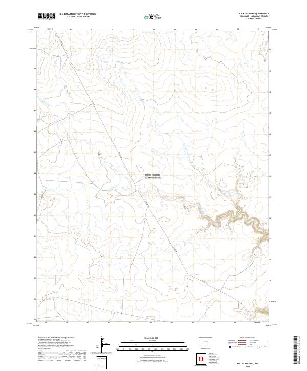
2022 Map of Rock Crossing
USGS Topo · Published 2022About this map
Big Water Arroyo and Taylor Arroyo dominate the landscape of this high plains region in Las Animas County, carving deep, winding drainage patterns through the terrain. The map captures the specialized land use of the early 21st century, where industrial infrastructure like Pipeline Rd cuts across the section lines of the Public Land Survey System. The area is defined by its drainage network, including the western reaches of Burke Arroyo, which feeds into the larger arroyo systems that characterize the local geography. Human activity is sparse and primarily functional, represented by rural connections like Co Rd 143 that traverse the township boundaries of t30s r58w and t29s r59w. This survey illustrates the intricate natural watercourses that dictate the movement and development in this arid part of Colorado.
Find a feature on this map
11 named features on this map. Tap any name to fly to it.
Don’t see what you’re looking for? This feature index may not catch every label — zoom into the map to look around manually.
Map Details
Editions of this 2022 Rock Crossing Map
This is the sole edition of this map. No revisions or reprints were ever made.
Other maps of this area

1891 · Timpas
USGS Topo · 1:125,000

1891 · Apishapa
USGS Topo · 1:125,000

1891 · Mesa De Maya
USGS Topo · 1:125,000

1892 · Elmoro
USGS Topo · 1:125,000

1893 · Apishapa
USGS Topo · 1:125,000

1893 · Elmoro
USGS Topo · 1:125,000

1893 · Mesa de Maya
USGS Topo · 1:125,000

1894 · Timpas
USGS Topo · 1:125,000

1897 · Elmoro
USGS Topo · 1:125,000

1897 · Apishapa
USGS Topo · 1:125,000