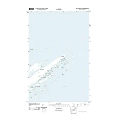
2011 Map of Rock Harbor Lodge
USGS Topo · Published 2011About this map
Rock Harbor Lodge serves as the focal point for this survey of the northeastern tip of Isle Royale, where the archipelago breaks into a complex network of channels and long, narrow islands. The landscape is defined by its northeast-to-southwest orientation, with major inlets like Tobin Harbor and Duncan Bay sheltered by protective landforms such as Blake Point and The Palisades. This 2011 record documents a series of water-accessible sites, including the Tobin-Rock Harbor Campground and the Duncan Bay Narrows Campground, illustrating the area's role as a haven for backcountry exploration. Beyond the main shore, the map details an intricate maritime environment ranging from the hazard of Five Foot Reef to the small, scattered landmasses of North Government Island and Elizabeth Island. The isolation of Hidden Lake and the various channels, such as Merritt Lane and Smithwick Channel, highlight a topography shaped by the surrounding waters of Lake Superior.
Find a feature on this map
60 named features on this map. Tap any name to fly to it.
Don’t see what you’re looking for? This feature index may not catch every label — zoom into the map to look around manually.
Map Details
Editions of this 2011 Rock Harbor Lodge Map
This is the sole edition of this map. No revisions or reprints were ever made.
Other maps of this area

1895 · Passage Island
USGS Topo · 1:62,500

1959 · Fort William
USGS Topo · 1:250,000

1968 · Fort William
USGS Topo · 1:250,000

1985 · Todd Harbor
USGS Topo · 1:100,000
1985 · Rock Harbor Lodge
USGS Topo · 1:24,000
1985 · Belle Harbor
USGS Topo · 1:24,000
1985 · Passage Island
USGS Topo · 1:24,000
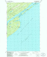
1985 · Mott Island
USGS Topo · 1:24,000
2011 · Passage Island
USGS Topo · 1:24,000
2011 · Belle Harbor
USGS Topo · 1:24,000