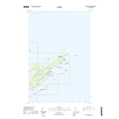
2019 Map of Rock Harbor Lodge
USGS Topo · Published 2019About this map
Isle Royale National Park defines this landscape of Lake Superior, showcasing a complex archipelago of basaltic ridges and narrow harbors. This modern topographic survey highlights the northeastern tip of the island, where the Greenstone Ridge Trail and Rock Harbor Trail follow the natural spine and shoreline of the land. The mapping detail reveals the intricate sequence of islands protecting the main shore, including Porter Island, Merritt Island, and the many smaller outcrops like Gull Rock and Smith Island. The interaction of the lake and the land is most evident at Scoville Point and the long, sheltered reaches of Tobin Harbor and Snug Harbor. Further inland, features like Hidden Lake and Hog Island illustrate the varied terrain that has long served as a destination for wilderness exploration.
Find a feature on this map
78 named features on this map. Tap any name to fly to it.
Don’t see what you’re looking for? This feature index may not catch every label — zoom into the map to look around manually.
Map Details
Editions of this 2019 Rock Harbor Lodge Map
This is the sole edition of this map. No revisions or reprints were ever made.
Other maps of this area

1895 · Passage Island
USGS Topo · 1:62,500

1959 · Fort William
USGS Topo · 1:250,000

1968 · Fort William
USGS Topo · 1:250,000

1985 · Todd Harbor
USGS Topo · 1:100,000
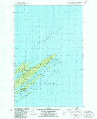
1985 · Rock Harbor Lodge
USGS Topo · 1:24,000
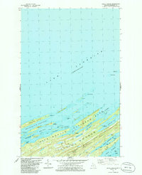
1985 · Belle Harbor
USGS Topo · 1:24,000
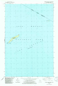
1985 · Passage Island
USGS Topo · 1:24,000
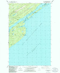
1985 · Mott Island
USGS Topo · 1:24,000
2011 · Passage Island
USGS Topo · 1:24,000
2011 · Belle Harbor
USGS Topo · 1:24,000