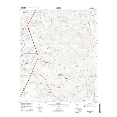
2014 Map of Rock Hill East
USGS Topo · Published 2014About this map
The Catawba River serves as the central artery for this portion of the Piedmont, carving a path through the borderlands of York and Lancaster counties. Historic crossing points like Nations Ford highlight the long-standing significance of this corridor, while the industrial and residential expansion of Rock Hill is evident in the dense network of neighborhoods like Springstein and Riverview. The Norfolk Southern railroad line parallels the river's western bank, supporting a landscape where traditional small settlements like Lesslie and Red River sit alongside modern developments. Local heritage is preserved in sites such as Hopewell Cem, while the natural drainage of the region is defined by numerous tributaries including Manchester Creek, Sixmile Cr, and Burgis Cr, which flow toward the main river channel near Goat Island.
Find a feature on this map
46 named features on this map. Tap any name to fly to it.
Don’t see what you’re looking for? This feature index may not catch every label — zoom into the map to look around manually.
Map Details
Editions of this 2014 Rock Hill East Map
This is the sole edition of this map. No revisions or reprints were ever made.
Other maps of this area

1905 · Charlotte
USGS Topo · 1:48,000

1907 · Charlotte
USGS Topo · 1:62,500

1941 · Charlotte
USGS Topo · 1:125,000

1941 · Spartanburg
USGS Topo · 1:250,000

1942 · Charlotte
USGS Topo · 1:125,000

1947 · Clover
USGS Topo · 1:62,500

1949 · Clover
USGS Topo · 1:62,500

1949 · Rock Hill
USGS Topo · 1:62,500

1953 · Spartanburg
USGS Topo · 1:250,000

1953 · Charlotte
USGS Topo · 1:250,000